

It is interesting to know that some regional and district councils in New Zealand have undertaken steps to gather information on climate change. One of these is creating monitoring tools for climate change-vulnerable areas in their respective regions.
Recognising the impacts of climate change, the Wellington City Council (WCC) undertook solutions to climate-proof the city.
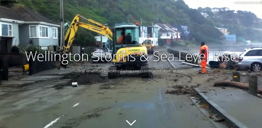
To learn about the climate change impacts in Wellington, New Zealand’s capital, particularly the effects of sea-level rise and storm surge on its infrastructure, the WCC created a resilience story map titled “Wellington Storms and Sea Level Rise.”
The story map provides valuable information about climate change consequences, such as sea-level rise and storm surge, affecting the Wellington city harbour area.
It shows images of the Wellington CBD section and its appearance with rising sea levels. Click the image below to access the site:
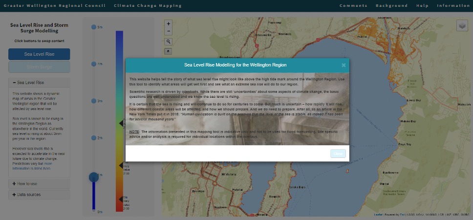
Mapping climate change, the Greater Wellington Regional Council’s Sea Level Rise and Storm Surge Modelling shows a dynamic map of areas affected when sea levels rise and storm surges occur. CLICK on the image below to access the map.
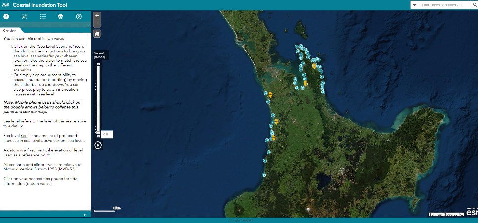
Meanwhile, the Waikato Regional Council has put up the Coastal Inundation Tool, which shows a map of the region and sea-level scenarios in marked locations. You can also explore the identified places and see their susceptibility to coastal inundation.
These tools are something that you can ask your local or regional government to create (if they have not done it yet) as they provide information crucial for climate adaptation and mitigation planning and action.
Leave a Reply