
Climate Adaptation Infrastructure Management Series Part 1
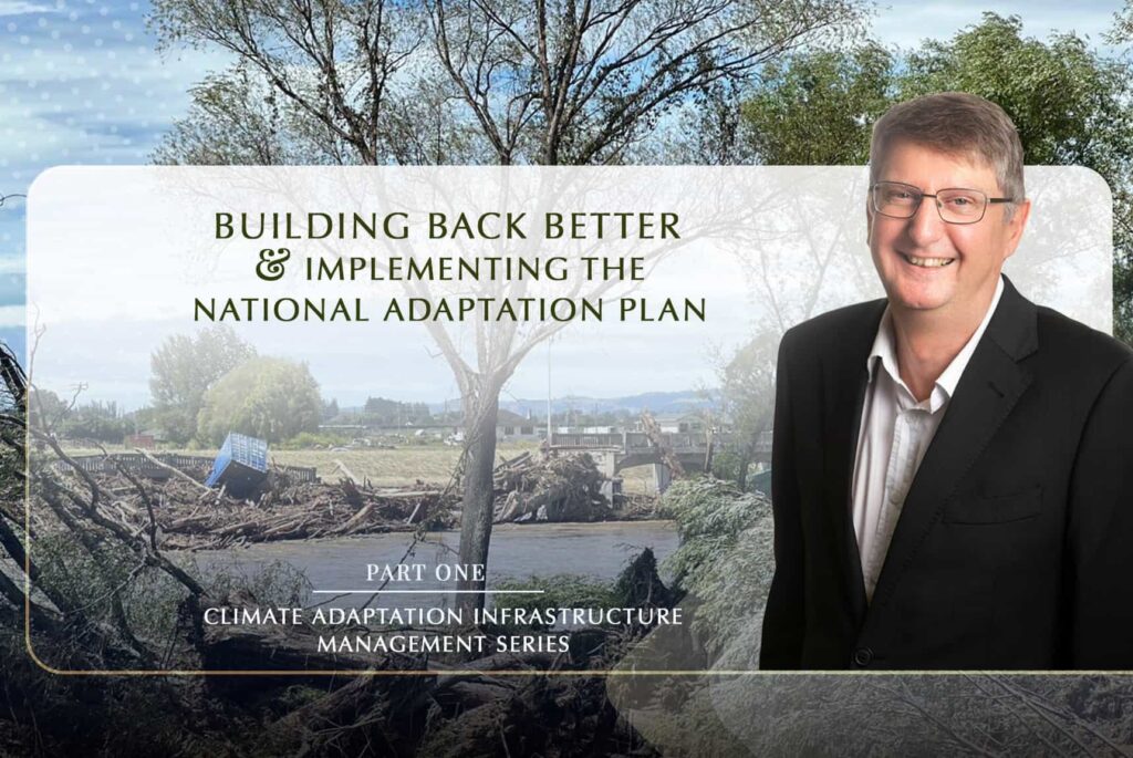
This is the first of a blog post series featuring Ross Waugh’s expertise on climate adaptation and infrastructure management. He discussed how New Zealand could build back better after Cyclone Gabrielle, implementing its National Adaptation Plan with equity at the centre, including managed retreat, building resilience into infrastructure, communicating the climate crisis and actions with the Maori, and so much more.
In this first blog post, Ross gives his views on how New Zealand can build back better after the Auckland floods and Cyclone Gabrielle, incorporating uncertainty in the design of infrastructure and on the country’s National Adaptation Plan.
How should communities build back better?
How should communities build back better in the aftermath of the unprecedented Auckland floods in January and Cyclone Gabriell, especially in the worst-hit area of New Zealand, such as Hawke’s Bay, Northland, and Gisborne regions? Should they build back at all?
Ross:
Many primary stormwater and river control systems were designed in the 1950s and 1960s in New Zealand. These infrastructures were designed for the rainfall patterns that they knew about then based on 100 years of record at that point, and that’s Western records as opposed to the Māori knowledge at that point, and the climate was not moving around like it is now, so the river system protection was designed in the 50s, 60s, 70s & 80s for 1 in 100 to 1 in 200-year type events based on the records they had at the time.
The suburban areas’ stormwater would have been designed for 1 in 5 years event. In commercial and town centre areas, for the primary system, perhaps 1 in 10 years, sometimes as high as 1 in 20 years. The design was based on the rainfall patterns they knew about in the 1960s.
What’s interesting about stormwater and river control systems is that they have a primary system and a secondary system or an overflow system – those can be existing depressions and gulleys. Secondary systems can also be roads, parks, and reserves. Some can be designed as storage or detention areas during significant rainfall.
The problem with the Auckland flooding and Cyclone Gabrielle is that the events were massively above the design parameters for the stormwater systems they were heading for these impacted cities and areas.
Preliminary data of Cyclone Gabrielle suggested that it was a 1 in 250 or even a 1 in 300-year type event, and Auckland flooding was way above the design of the systems – they are still working it out in terms of the size of the events.
Another interesting thing about the public commentary about these events over the past month or so is saying the existing systems fail. Well, they did not fail; the storm event was massively above what the systems were designed for. They got heaps of data about how much impact and where the flooding was, but it will take a while to analyse all those data.
At a fundamental level, this impacts New Zealand and the Pacific, Asia, and the Philippines, where they are starting to get more enormous cyclones and typhoons. What do you design for when you’ve got a shifting climate, and the events are getting bigger and more intense? So, the answer to that is a little bit unknown. That will be the challenge of the next few decades, depending on how much society can afford.
The systems built in the 60s were what society could afford at that time as we’re getting more significant and more intense events that will cause more damage. The question is, what will we design for knowing the primary stop banks systems, the secondary systems, overflow areas, and detention systems in rural and urban areas?
The thing about stormwater and river systems is that they are more than just a primary system, so you have a whole range of options that you can do there. One of the key things about building back better is not building houses in flood plains. The Esk Valley flooding has seen silt almost reaching the roofs of houses – those houses were on the secondary floodplain areas of that river system.
The interesting thing about human nature is that people will say they won’t live in that flood plain. A few years ago, I was in Samoa, and they had a devastating tsunami that killed a couple of hundred people right after an earthquake. Many houses that were right by the water got destroyed, as is often the case in Island countries when people live close to the sea because that is where their livelihoods are based. People moved up the hill and rebuilt all their houses for the first couple of years after the tsunami. You could see where the tsunami lines were in the trees and up the hill, and everybody was above it.
About two and a half years later, the hills where the people live are about a kilometre to two kilometres off the coast, and residents got sick of walking down the sea every morning. And houses were starting to pop up again right down by the coast.
And that behaviour illustrates how people respond to risk versus resilience or trade-off. When you have a big event, everybody remembers it for a while and then forgets about it, and it might be a long time before you’ll have another one, so convenience overrides risks. So, that is how human nature works.
One of the critical build-back better considerations is enforcing not building in the secondary flood plains. This is a very loaded sentence because what are those flood plains, and how often are they flooded?
If we look at the east coast of New Zealand, in the last one hundred years, we have had three cyclones the size of Gabrielle. We had one in the 1930s, Cyclone Bola in 1988, and now Gabrielle.
Going forward for New Zealand, the question is whether we will only have those three in a hundred years or are getting them once in ten years or five years. If the answer to that question is yes, we have to design for it, move stuff, and change many things. Once every thirty years, maybe get the houses off the floodplains and not have our major electricity substations in secondary floodplains, which shows the size of the problem we are addressing.
Countries like China, Egypt, and the UK have records that go back thousands of years. China and Egypt have extensive river systems and documents going back 2 or 3 millennia. Until recently, they could accurately tell the most significant flows on those rivers in the last two or three thousand years and were able to design for it. With climate change, we don’t know.
The world’s getting significantly warmer, which means more water in the atmosphere and more intense, frequent storms. We are in this period of discontinuity of our records and our ability to design for it. That suggests we have to build in bigger safety factors in the design.
If you know with some precision what you’re going to get or what the biggest (storm) will be, then you’ll know what to design for; if not, you’ll have to provide some leeway in the design. This is the challenge for New Zealand and the affordability of that approach.
How can government agencies implement the National Adaptation Plan?
The Government released the country’s first National Adaptation Plan on 3 August 2022, which sets the adaption direction for 2022- 2028. The plan includes climate-resilient development in the right location and adaptation options, including managed retreat, coupled with the policies and proposal to help respond to climate change risks. Given the devastations to infrastructure and properties across the North Island in New Zealand in January and February 2023, is this the right time for the government to start implementing the plan? How can government agencies implement the NAP?
Ross:
Currently, there is a climate change legislation plan as part of the Resource Management Act suite. The government plans to repeal the RMA and replace it with the Natural and Built Environments Act, Strategic Planning Act, and Climate Adaptation Act.
These are not enacted yet and are before the parliament. But what is happening, the events are getting ahead of the legal and policy framework. So, it makes it hard for the government department to act when the primary legislation is not yet in place.
These laws may be enacted this year, or it could take longer. But we need these legislations and the policy framework for retreat, insurance, etc. We need guidance from those acts in planning for solutions like a managed retreat or red zoning like what happened in Christchurch.
With the Christchurch earthquake, it was evident, with the liquefaction and along the rivers, that you need to get the houses out as they are unsafe there. But some residents who built them 60 or 70 years ago refuse to leave because that was their home.
Although from a technical viewpoint, it’s easy to recommend managed retreat and red zoning, it requires sensitivity and care in implementation and takes time.
And this is one of the challenges of adaptation. Where it gets particularly sensitive is around Māori communities. Their communities are often clustered on the coast because of livelihood, source of food, and access to water.
I have seen some regional mapping in the far north regarding vulnerability, and many marae and burial grounds are vulnerable to climate change effects.
So these are places where your family might have lived for thousands of years, where you have very strong cultural, linguistic, and identity links, and you’re saying we will move you. So there needs to be a high degree of sensitivity and not a five-minute solution.
I know a colleague in Hawke’s Bay involved in his local marae. One of their rivers is scouring a burial ground, so they have this heart-breaking job of moving the burial ground with all the respect required in moving their ancestors’ remains.
While it’s easy to say we have to implement a managed retreat, in reality, it is a complex issue and not a five-minute one to deal with.

Ross Waugh is the founder and director of Waugh Infrastructure Management. He is an asset management and systems integrations specialist with over three decades of experience.
His company provides infrastructure asset management consulting in transportation, utilities, community facilities, parks, and properties in New Zealand and overseas.
Ross co-leads the Climate Adaptation Platform, designed as a portal for recent, relevant information to support governments and councils to help them adapt and be resilient to climate change effects.
Leave a Reply